Hail map — August 10, 2024
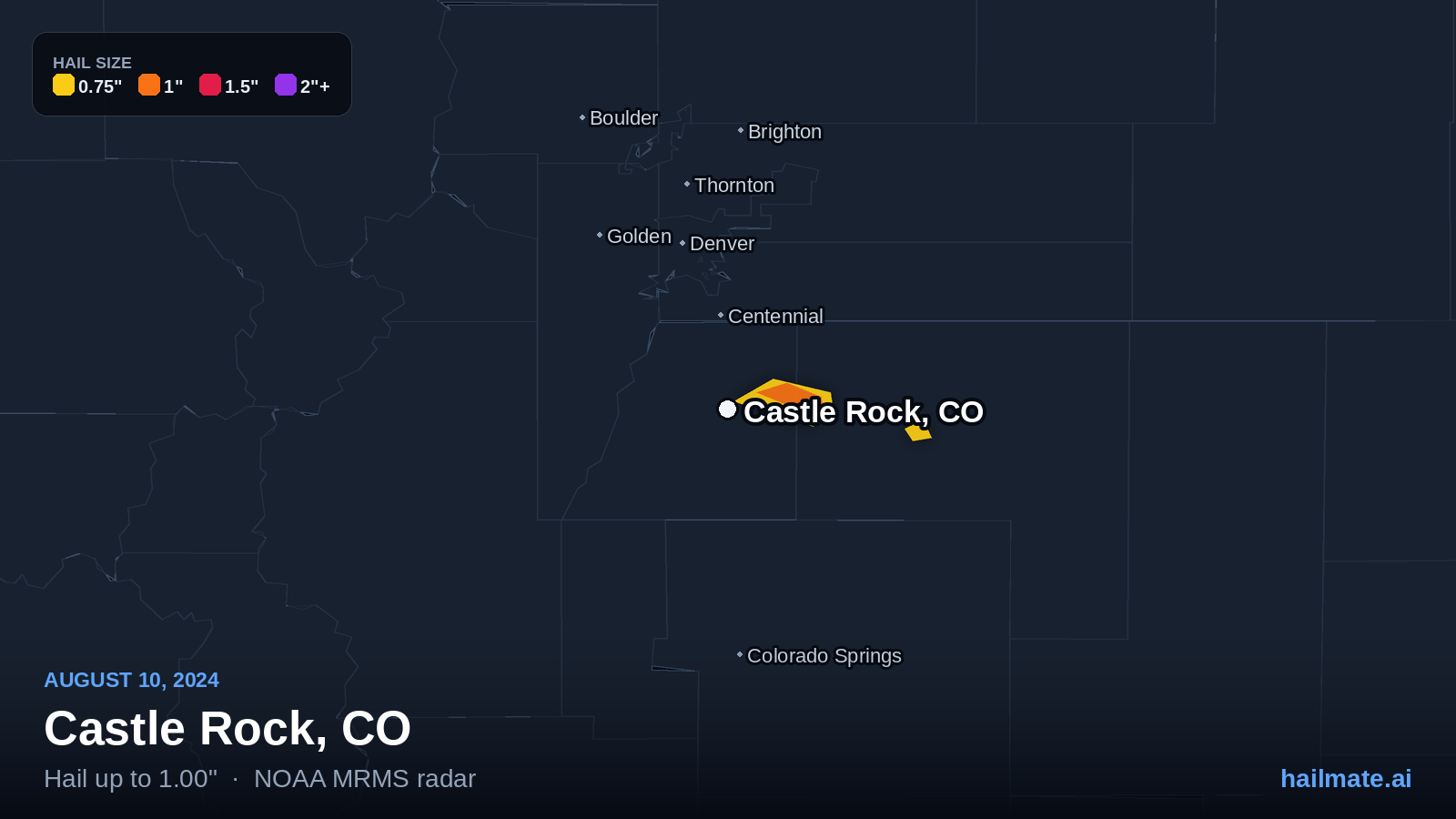
NOAA radar detected hail of an inch or more over 2 cities across 1 state on August 10, 2024. The largest stones — 1.00″, quarter size — fell over Castle Rock, CO.
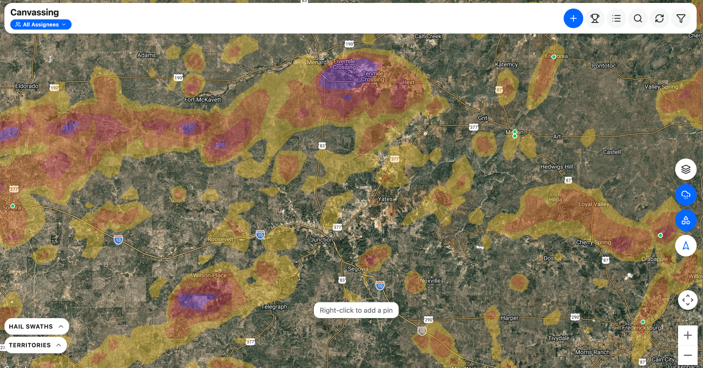
Claim your live interactive hail map
Every address in your state at once — three years of NOAA hail swaths drawn on a map you can zoom, filter and actually work.
$79/moall of your state, not one storm day
- The August 10, 2024 swath — and every other storm since 2023 across your state
- GPS door-knocking — pins, photos and who you have already hit
- Jobs, contacts, estimates and invoices included
- An alert the next time your state gets hit
HailTrace charges $229 for this one day, once. $79 here is all of your state, every day.
- States hit
- 1
- Cities hit
- 2
- Largest stone
- 1.00″
- quarter size
- Impact rating
- 3/10
- from stone size
Sizes come from NOAA radar, which runs about ±0.25″ against ground truth. It is canvass-targeting quality, not claim evidence.
Did hail hit your address?
This page covers your area as a whole. Check your own address to see every storm on record for your roof — the date and the stone size for each one — and we'll email you the full report to keep.
Check my addressFree, and no account needed to look it up. If hail did hit, you'll have the date and the stone size in writing — which is the first thing an adjuster asks for.
States hit on August 10, 2024
Every state where NOAA radar put an inch or more of hail over a city that day, biggest stone first.
Hardest hit on August 10, 2024
What people on the ground measured in the US on August 10, 2024
11 reports filed with the National Weather Service — 2 from trained observers or officials. These are measured stones, not radar estimates, so they are the closest thing to proof that hail actually reached the ground.
- 1.25″ half dollar size Emergency Mngr3 SE Palisades, ID1:30 PM MDTBonneville County
Bear Lake EM traveling through and sent picture of hail next to a quarter.
- 1.25″ half dollar size Public4 SE Palisades, ID1:35 PM MDTBonneville County
*** 4 INJ *** Boat caught on Palisades Reservoir as severe thunderstorm moved overhead. Video captured heavy hail falling with some stones larger than quarters resulting in dents to the boat. 4 occupants received bruises from the hail. No other injuries. Time estimated based on radar.
- 1.25″ half dollar size Public5 SE Palisades, ID1:36 PM MDTBonneville County
*** 2 INJ *** At least two additional injuries reported from another group caught out on Palisades Reservoir during the severe thunderstorm. Group took shelter under a surfboard and life jackets in the water, but received bruises and welts from the hail. Time estimated.
- 1.25″ half dollar size Public5 E Mackay, ID3:51 PM MDTCuster County
Photo and video received via social media. Time estimated based on radar.
- 1.00″ quarter size Public2 S Palisades, ID1:29 PM MDTBonneville County
Hail up to quarter size reported at Calamity Campground. Time estimated based on radar.
- 1.00″ quarter size Public6 ESE Mackay, ID3:53 PM MDTCuster County
Time estimated based on radar.
- 1.00″ quarter size Public2 NW Castlewood Canyon, CO4:48 PM MDTDouglas County
Report from mPING: Quarter (1.00 in.).
- 0.88″ penny size Public2 SE Irwin, ID1:24 PM MDTBonneville County
Estimated dime to nickel size hail across from Palisades Campground. Time estimated based on radar.
- 0.75″ penny size Trained Spotter9 NW Canyon Creek, MT5:15 PM MDTLewis and Clark County
Hail up to penny size in drifts up to 8 inches deep found on Sunday August 11th. Hail was likely larger when it fell on the 10th. Time estimated.
- 0.70″ penny size Public1 S Swan Valley, ID1:20 PM MDTBonneville County
Largest size estimated. On the boundary between Swan Valley and Irwin. Time estimated based on radar.
- 0.50″ penny size Public1 NNW Darlington, ID4:03 PM MDTCuster County
Along US-93. Time estimated based on radar.
Reports come from the National Weather Service Local Storm Report feed, ingested every 15 minutes. A report records where the observer was, not the full extent of the swath — treat it as evidence about the storm, not about any one roof.
Other hail days
US hail on August 10, 2024
NOAA radar put hail of an inch or more over 2 cities across 1 state on August 10, 2024. The largest stones — 1.00 inches, quarter size — were over Castle Rock, CO. Every state hit is listed on this page, and every city under it.